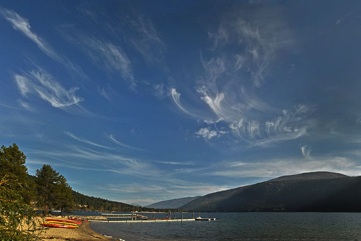
Fallstreaks enlace a cerulean sky of October.
Note: this blog page has now spawned a more throrough treatment on the website of cirrus.
Variously called fallstreaks, mare’s tails, and cirrus uncinus (Latin: cirrus, lock of hair; uncinus, hook shaped). They form high in the troposphere often with the approach of a warm front. Throughout the fall, the incidence of frontal systems increases, but so does the…

incidence of valley stratus, so the fallstreaks may be present, but unseen from the valley floor.
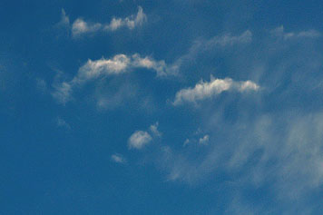
 A fallstreak starts when a small convective cloud of supercooled water droplets forms in ascending air aloft. In the picture to the left, the water clouds are the ones with the harder outlines. It is normal for water drops in a cloud to be supercooled—that is, be liquid at temperatures well below 0°C. However, when the temperature is quite low, say, less than -20°C some of the drops will freeze. The resulting ice crystal will grow very rapidly by vapour diffusion, because the equilibrium vapour pressure over ice is lower than that over water. These large ice crystals fall much faster than the small water drops and soon form diffusely hanging streaks.
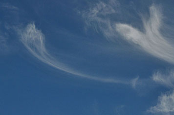
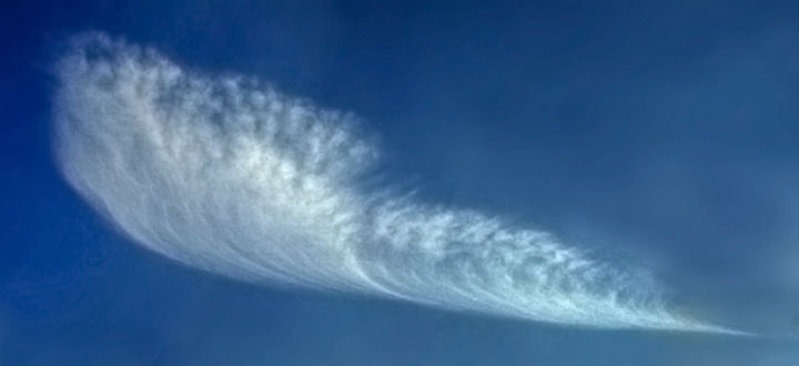
 The ice crystals keep falling out of the water cloud until all of the water drops have frozen. The resulting streaks can extend down hundreds of meters. In descending through such a height, the crystals pass through elevations with a different wind speed or direction which results in the streaks being dragged out in the horizontal. An unexpected characteristic is that the streak assumes a parabolic shape (thus the names mare’s tails or uncinus) in response to a constant (linear) change of wind with height—a situation that is the norm in the upper troposphere. Of course, the parabolic shape of such a fallstreaks will only be seen when viewed from the side; when viewed head on, it will look straight.
There are worse things that might embellish an otherwise clear blue sky.

