This is an age where obtaining a view from above is as easy as using Google Earth. Beyond that, there is the even more detailed view of the residential regions around the Lake available from the RDCK site by visiting PIMS. To see the LIDAR images, zoom into a residential portion of the map until the code, lidar.SDE.LIDAR, becomes available (lower left sidebar) and then choose it. The system is slow, but worth it. (And, all this ignores the wonderful views from the weather satellites).
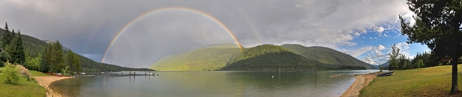
However, there remains a charm found in hand–held shots taken by astronauts with their variable dates, conditions, angles and lighting. So, this posting includes a few.
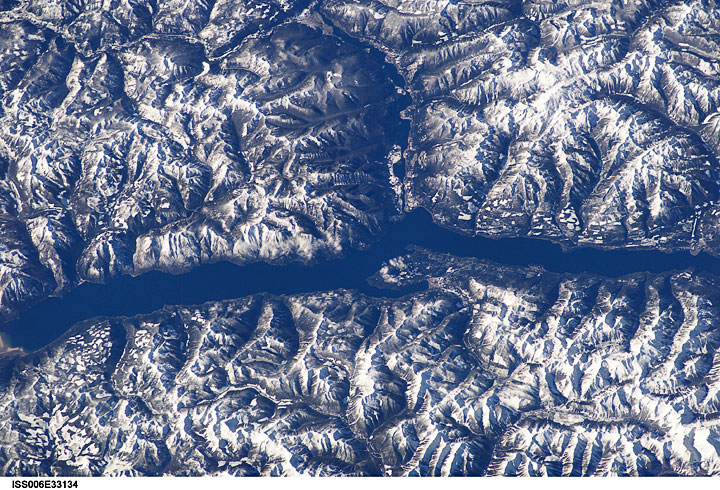
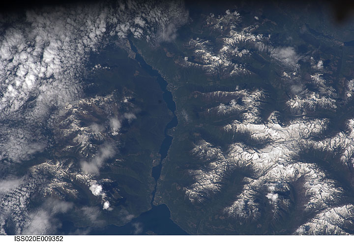
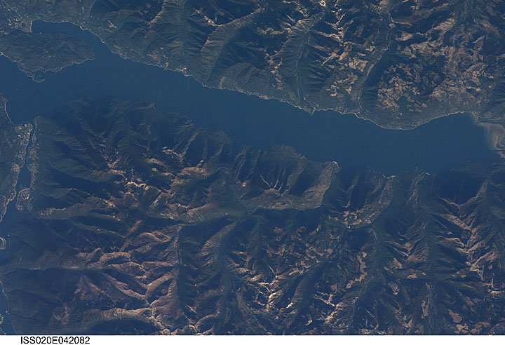
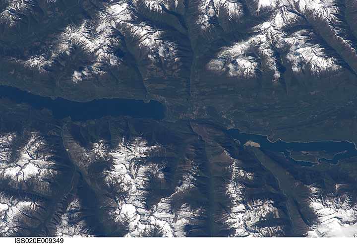
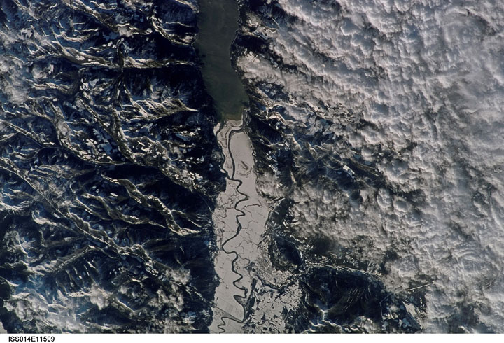
Each month, the American agency, NASA, assembles recent pictures taken by its astronauts and makes them available to the public and each month, I check to see if there are any new ones of us. This December 1st, among the nearly 6000 images released were 132 taken over BC. This looked promising so I checked for ones around Kootenay Lake. Below are five I liked. All images were taken from the International Space Station (ISS) and all are courtesy of the Image Science & Analysis Laboratory, NASA Johnson Space Center. To obtain them and others for yourself, or to get high–resolution versions, visit http://eol.jsc.nasa.gov. Enter your favourite location (e.g., Kootenay Lake) in the search box and then follow your nose. Or under the Find Photos menu, choose the Google Maps and navigate to this region.
Each of these images is much more spectacular in its high-resolution version, particularly the one which shows Creston and the south end of the Lake. The lighting and detail on it are stunning.
The West Arm from Queens Bay to Nelson taken June 13, 2009
The South Arm from Crawford Bay to Kuskanook taken September 24, 2009
North Arm from Schroeder Point to Duncan Lake taken June 13, 2009
South Arm, Creston Wildlife Management Area, and Creston on January 10, 2007
Most of the Lake, looking west on February 24, 2003