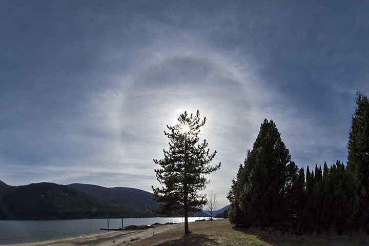
Yesterday, there was a halo around the Sun; this morning, the rain (or snow) began. These events were related.
The earliest sign of an approaching mid-latitude storm is often a canopy of cirrus—a veil of ice crystals. While simple hexagonal ice crystals will produce a 22° halo, there are many forms of ice crystals and the requisite shape for halo production might not be present. Further complicating the relationship between haloes and storms is the fact that other types of weather can also produce a halo. Alas, it is neither true that a storm is always presaged by a halo, nor that a halo is only associated with a storm.
Yet, a storm is preceded by a halo sufficiently often that the link between the two has become a part of weather lore.
Yesterday’s 22° halo presaged today’s rain.

Beautiful! I’ll have to watch for this, the weather this morning caught me totally by surprise!
The complexity of this, the preciseness, such wonders.
Halo’s are usually seen through Ciro-stratus clouds,
An advancing veil of this cloud from the west or southwest
is a sure and almost positive (weather forecasts always leave
an escape clause) rain within 24 hrs. This is an advancing warm front
usually associated with a wave in which a cold front will follow.